
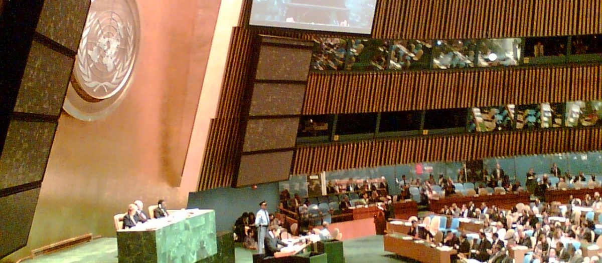
The UN General Assembly voted 164 to 1 on Friday to back a resolution encouraging governments, schools and technology companies to adopt map projections that accurately represent the true size of continents. The measure came after a campaign led by African nations against the Mercator projection, devised in 1569 by Flemish cartographer Gerardus Mercator for maritime navigation. The resolution does not ban Mercator maps but instead promotes equal-area projections like Equal Earth, developed in 2018, particularly when relative size matters. It also encourages teaching about the limitations of flat maps in representing Earth’s spherical surface.
The Mercator projection enlarges landmasses increasingly farther from the Equator. Greenland, for example, appears roughly the size of Africa on Mercator maps, despite Africa being about 14 times larger. Northern Europe and North America also appear magnified relative to equatorial regions. Togo led negotiations on behalf of African nations, arguing that map choices shape how generations understand the world. The resolution describes correcting such distortions as an act of cognitive justice and memorial reparation.
The United States cast the sole vote against, calling the initiative a radical ideological project that threatened the institution’s credibility. Six countries, including Ukraine, abstained, with Ukraine expressing concern that equal-area maps could create ambiguity over disputed territories. France announced it would abandon Mercator projections for its official world maps, aligning with the African Union’s broader effort. The measure is non-binding and will not remove Mercator maps from use.